Posts

Showing posts with the label Districts

Weekend trip to Dadeldhura

Image
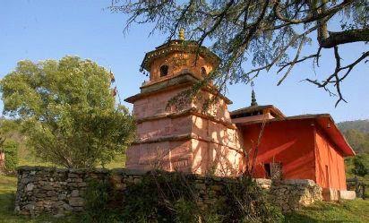
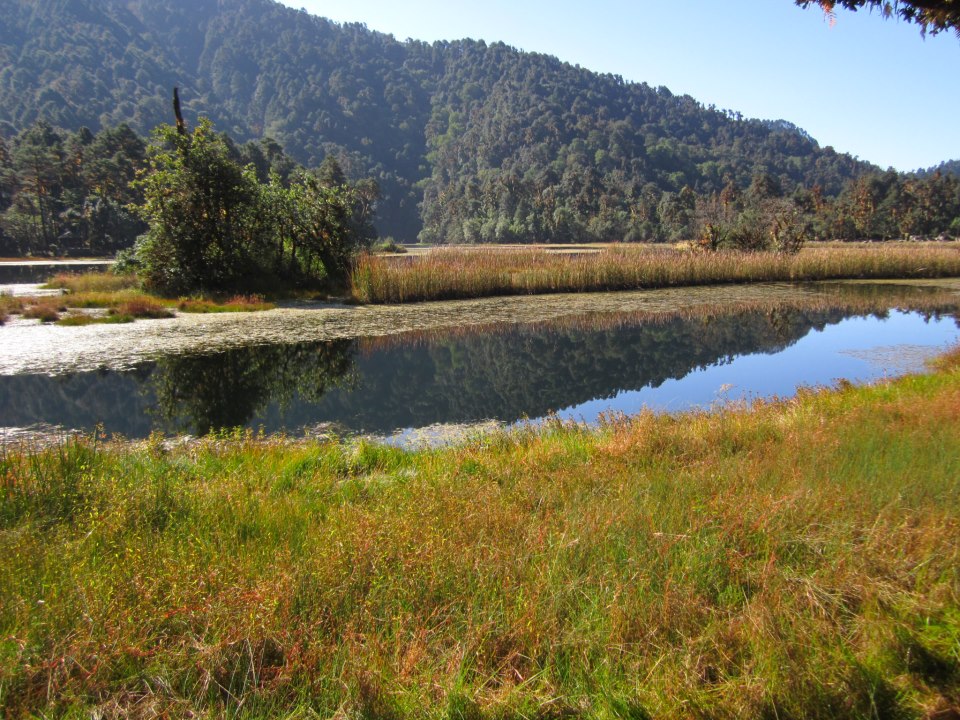
Dadeldhura  is a four hour bus or mini-van drive away from  Dhangadhi  and lays picturesque in the  middle hills  of  Farwest Nepal . It is still hard to find information on the internet – but this should not hold you back to discover this inspiring place in the  hilly area  of  Far west Nepal! The town in the  middle hills of Far west Nepal  is not very big, colorful houses in every size spread over an area of hills in an elevation of about 1,300 meters. That means: fresh and clean air to breathe and clear your mind. Once you arrive at the bus park during the day, the first breathtaking view over the  Western Himalayas  will let you forget about the winding and adventurous bus drive. A number of hotels and guest houses await you with clean and comfortable rooms, delicious  Nepali food  as well as warm and welcoming smiles.  You will be drawn into the calm mountain life once you make your way out o...

Map of Far western Development Region

Image
Map of Farwestern Development Region Nepal Attraction sites of Farwestern Development Region 

Journey to Badimalika, Bajura (Photo feature)

Image
Photo Feature of Badimalika, Bajura District, Far west Nepal. Special Thanks for Aashish Chaudhary for such beautiful Photos of Bajura. We took these Photos from onlinekhabar Nepali digital newspaper. We are using these photos for non commercial purpose. The route of Badimalika: Day 1: Dhangadhi, Kailali - Silgadhi, Doti by bus Day 2: Silgadhi, Doti - Tipada - Jaranga, Bajura by jeep  Day 3: Jaranga - Karalichaur Day 4: Karalichaur - Badimalika Triveni Day 5:  Badimalika Triveni - Badimalika Temple After day 2, there is not proper lodging and fooding facility so please take dry food, warm cloths and sleeping bag. 

Visual introduction of Dadeldhura district Nepal

Image
Let's enjoy  with the video of  Dadeldhura district, Far west Nepal. Dadeldhura is a beautiful hilly district with old temples, historical places and lakes. This district is well known for folk music and folk songs. 

Visual Introduction of Achham District, Nepal

Image
Let's see our beautiful scenery and culture in this video. Bhuwaa naach and Putala are the main cultural assets of Achhami culture. Ramaroshan tourism area is the one of the most beautiful place of the Achham district. To know about Achham once watch this video and then decide to go there. We will try to help you to make success your plan to visit Achham, Farwestern Nepal. Let's enjoy with this video and don't forget to share your comment about Achham:        

Achham district

Image
Achham district, a part of Seti zone, with Mangalsen as its headquarters, covers an area of 1,692 sq km (653.3 sq mi)  and has a population of  257,477  (2011).  A view of Sanfebajar, Achham (Cr: Trilochan Thapa) It is accessible by automobiles from Kathmandu and Nepalgunj  via a national Highway.  Achham is a beautiful place with various forts and natural resources. We can stay in Achham at Sanfebagar, mangalsen and kamalbajar. Location Longitude: 810 7”- 810 35”  Latitude: 280 45”-290 22” Area:1,692 km 2  (653.3 sq mi) headquarter:  Mangalse n Boundary East: Dailekh and Kalikot  West: Doti,  North: Bajura and Bajhang,  South: Surkhet and Dailekh. Beautiful view of Ramaroshan Climate Sub-tropical, Mild-temperate, cool- temperate.  Temperature:- Maximum: 30.00  ° Centigrade   Minimum: 1.00  ° Centigrade   Rainfall 1790.8 ml. Predominan...

Bajura District

Image
Badimalika, Bajura Martadi is the district headquarters of Bajura district at a distance of 950 kilometers from Kathmandu. The name Martadi was derived from Martanda Rishi. The  important religious temples such as Badimalika and Kailashmandu  could become important tourist attractions. The major ethnic groups in this district include Chhetri, Thakuri, Brahmin, Kami, Damai, Sarki, Kumal and Chunar. Polyandry tradition exists among Bhotia and Sauka communities. Locals worship in Jiulekmandu and Badimalika temples.Major festivals of Bajura are Dasain, Tihar, Fagu, Daval Jatra and Sain Kande Jatra. Bajureli Deuda and Bhuwa dances are very popular in the region for their uniqueness. District headquarter Martadi, Bajura Political Boundary East: Humla, Mugu and Kalikot  West: Bajhang and  Achham   North: Humla and Bajhang  South: Kalikot and Achham  Bhuwa Naach Population According to National Population and Ho...

Baitadi district

Image
Dehimandau Jaant(religious festival) Baitadi is the district headquarters of Baitadi district at a distance of 849 kilometers from Kathmandu. Baitadi Bazaar is locally known as Garhi (fort). The place is located on the southern slopes of Shahi Lekh (1,611m). Settlement is crowded along a narrow street. There are some government offices and about two dozen shops with a small park dedicated to martyr Dasarath Chand. The commercial activity is very minimal, compared to the nearby Pithoragarh, about 7 kilometers west across the border in India. It is, however, on the main trail from Jhulaghat part of Dadeldhura, Doti and Bajhang. Jhulaghat is an important trade outlet for some of the far western districts. Tripurasundari Temple, Baitadi The Baitadi district entails 62 Village Development Comittee (VDCs) and one Municipality(Dasarathchand). Baitadi falls into the farthest western regional district of Nepal touching Jhulaghat, India to its border. Being parts of Kumaun...